


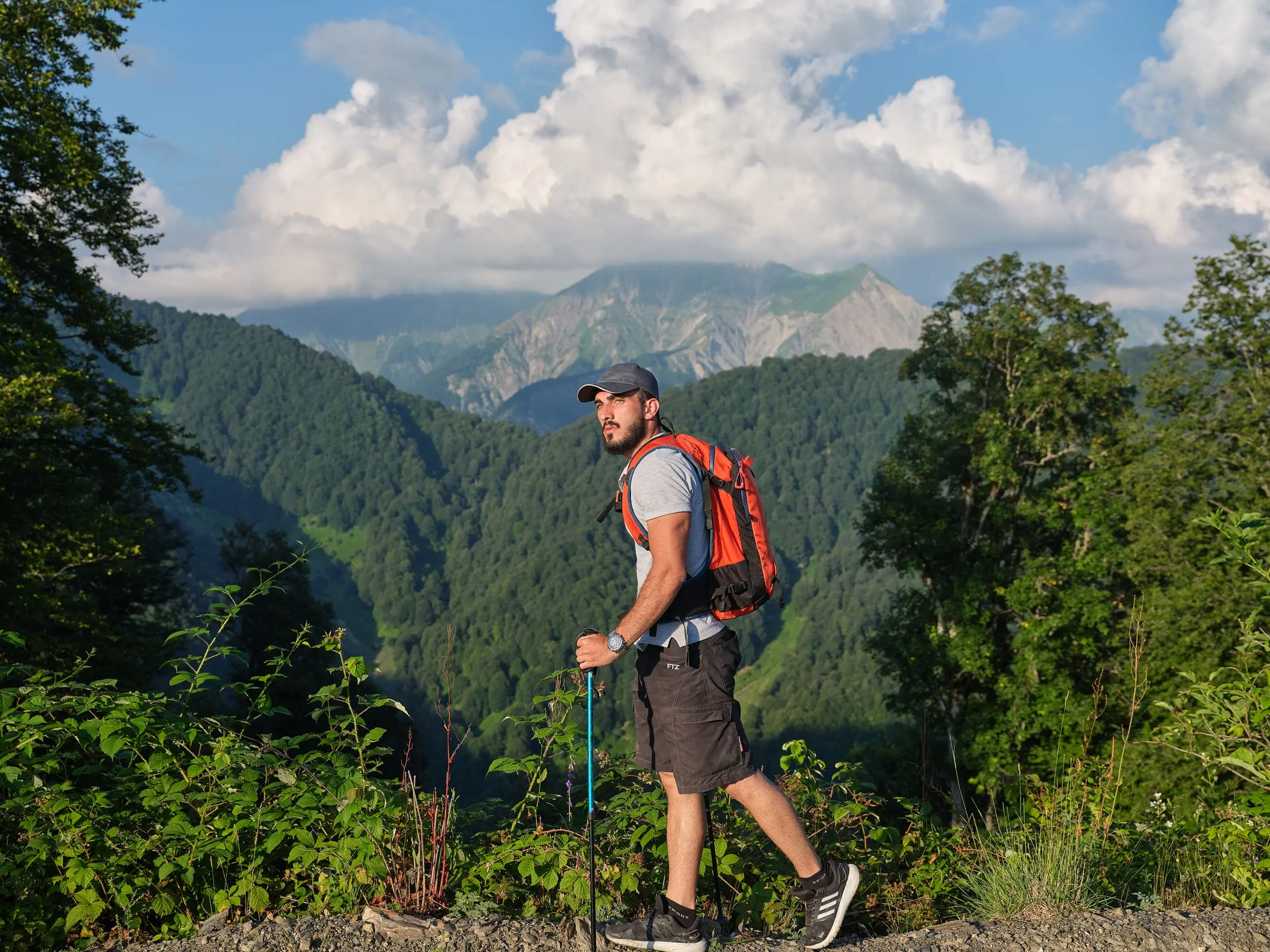
- Main checkpoints: «Tufandag Ski Resort» – Nohur Lake – «Tufandag Ski Resort»
- Length: 10,8 kilometers
- Duration: 6 hours
- Elevation gain: 650 meters
- Lowest point: 900 meters
- Highest point: 1460 meters
- Difficulty level: suitable for beginners
Important!
We recommend the hiking route "Trekking tours" to adults and children 16+. Children aged 7-16 are allowed if only accompanied by adults over 18 years old. Disabled persons with certain pathologies (mental disorders, epilepsy, musculoskeletal defects) are not allowed.
How to take the route with a qualified guide?
Starting at 08:00, daily in the period from 01.06 to 31.08.2021, a team of tourists is departing from the TC "Tufandag" tourist center, being accompanied by a guide. The number of spots in the team is limited, booking is available at the tourist center office. The route schedule can be found in the tourist center main office. The fee for a single tour is 40 AZN per person.
Tour description
The Carpathians are impressive, fascinating and inspiring. If you enjoy long walks and breathtaking landscapes, we definitely recommend you to try out our hiking route "Panoramic". Having almost 11 kilometers in length, it is planned in such a way that it can be done by almost anyone, even without special training. The major point and the real highlight of the route is the Tomnatyk mountain meadow. On a clear, sunny day, the view from it will exceed all your expectations, and will relieve fatigue like in an instant. From this mountain meadow some incredible panoramic views reveal. From here can you see the intertwining of three different nature reserves and half a dozen of the region's highest peaks. Here lies the Carpathian Biosphere Reserve with the majestic Hoverla (2061m) and Petros (2020m) (Chornogora), Gorgany Nature Reserve with the Dovbushanets ridge and mt. Dovbushanka (1754m), also Carpathian National Nature Park with mountains Syniak (1665m) and Khomiak (1542m).
The "Panoramic" route runs through ancient forests, along picturesque tracts, mountain springs and flowery meadows. Along the way you can find pastures where locals graze cows and sheep. Last, not least, you will often come across berries and mushrooms.
Be prepared! What you should have:
- small backpack, preferably with raincover;
- solid, fitting trekking shoes;
- comfortable and fitting clothes, preferably wind- and moisture-resistant;
- water and snacks. Consider taking high-calorie snacks, high in natural fats and carbohydrates;
- trekking poles;
- first aid kit with patches and disinfectants;
- cell phone with a fully charged battery and contact numbers of local rescue services.
Come, our "Panoramic" hiking route is a real adventure to remember!
Welcome to "Tufandag", the Heart of the Gabala!